Operation Santa Claus
12th Annual Toy Drive

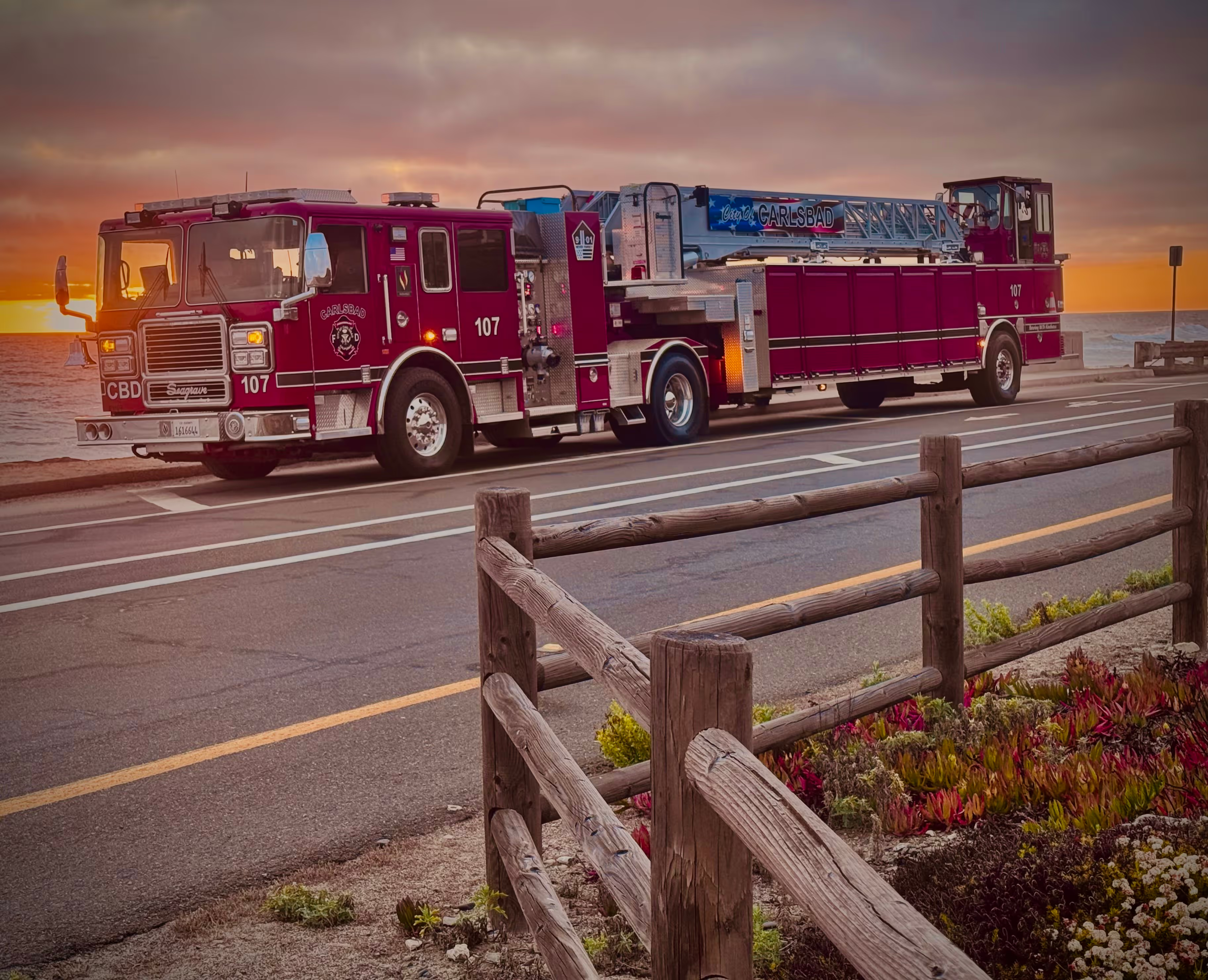
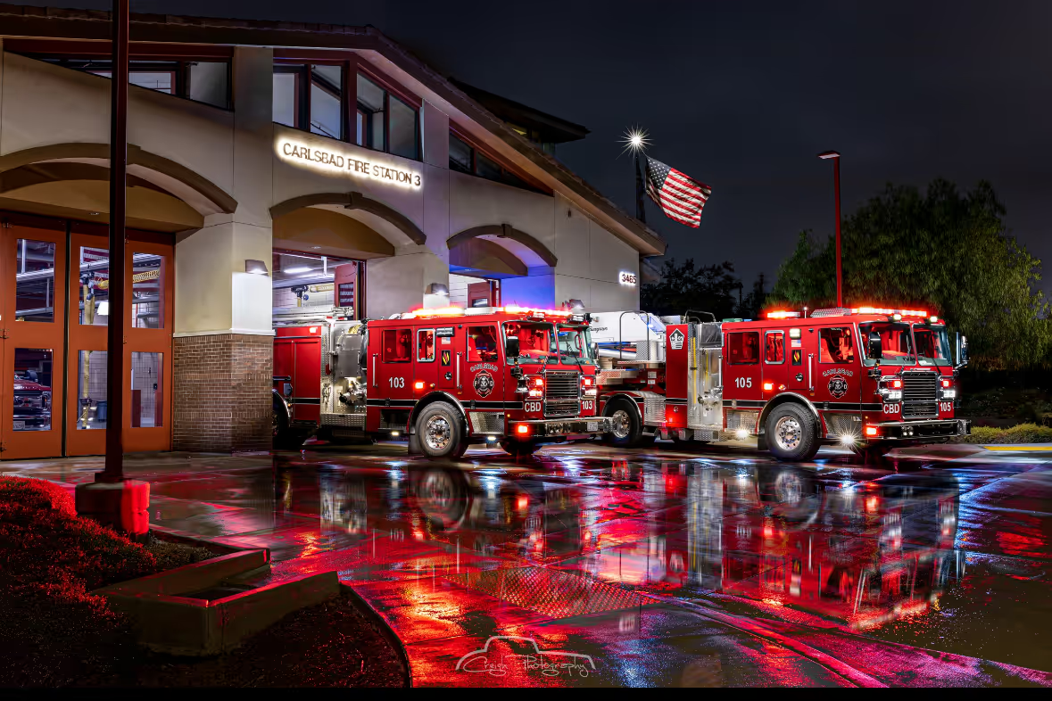
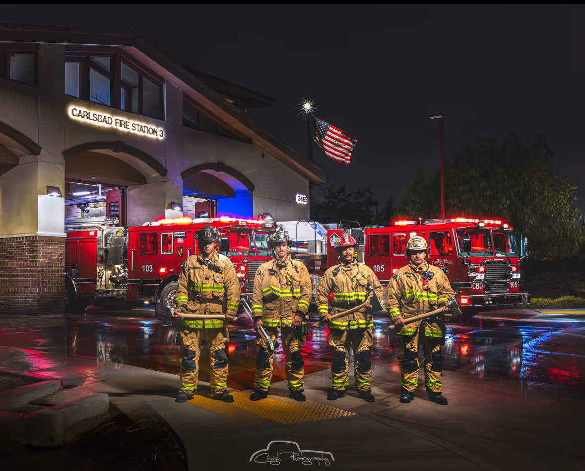
Carlsbad Firefighters Bringing Holiday Cheer to Your Neighborhood
Join the Carlsbad Firefighter’s Association as we bring holiday cheer to local neighborhoods with lights, music, and Santa riding on our antique fire engine! Come outside, wave to Santa, and hand-deliver gifts that will bring joy to children in need this season.
We need your support to help the less fortunate kids in North County San Diego have a memorable holiday. We are all feeling the pinch of the economy and with increasing costs of goods, some families will not have much to celebrate.

Please join our families during the neighborhood parades to give your gifts!
View Parade Maps

How You Can Participate

Simple black five-pointed star icon with a thick outline on a transparent background.

Step Outside & Join the Fun

Listen for the music and lights as our antique fire engine enters your neighborhood.

Simple black five-pointed star icon with a thick outline on a transparent background.

Donate Your Gifts

Our runners will collect your donated items directly from the sidewalk.

Simple black five-pointed star icon with a thick outline on a transparent background.

Spread the Word

Invite your family and neighbors to join the fun and support the cause.

Gifts We’re Collecting

We are collecting new, unwrapped items suitable for children ages 3–12, including:
🔸 School supplies
🔸 Backpacks
🔸 Girls dresses
🔸 Sweatshirts
🔸 Blankets
🔸 Socks
🔸 Games & puzzles
🔸 Balls
🔸 Books

Please have your items ready — our runners will pick them up as Santa passes by!

If you would like to donate instead, Please scan the QR Code.

QR code for Square Checkout donations.

Missed the Parade? Find Drop-Off Locations

You can drop off your gifts at these locations.

Melissa Local 5250
2nd Annual December Gun Raffle Flyer

Parade Maps:

Four red arrows pointing outward to the top-left, top-right, bottom-left, and bottom-right directions on a black background.Map showing a blue route path through residential streets near Foothills, from point A on Cannon Rd past Glen Ridge Apartments to point B near Foothills along Ocala Way.Four red arrows pointing outward to the top-left, top-right, bottom-left, and bottom-right directions on a black background.Map showing a blue walking route through Lower Rancho Carrillo including streets like Melrose Dr, Paseo Conquista, and Rancho Ganadero next to Leo Carrillo Historic Park.Four red arrows pointing outward to the top-left, top-right, bottom-left, and bottom-right directions on a black background.Four red arrows pointing outward to the top-left, top-right, bottom-left, and bottom-right directions on a black background.Map showing a blue outlined route through Rancho Bravado and Rancho Carrillo Lower neighborhoods, with roads labeled including Palomar Airport Rd and Melrose Dr.Four red arrows pointing outward to the top-left, top-right, bottom-left, and bottom-right directions on a black background.Four red arrows pointing outward to the top-left, top-right, bottom-left, and bottom-right directions on a black background.Map highlighting a winding route through Canterbury and Evans Point neighborhoods with street names and landmarks visible.Four red arrows pointing outward to the top-left, top-right, bottom-left, and bottom-right directions on a black background.Four red arrows pointing outward to the top-left, top-right, bottom-left, and bottom-right directions on a black background.Map of Camino Hills neighborhood with a marked walking route along Camino Hills Dr, Lindsay Dr, Sawyer Ln, and Bryant Dr.Four red arrows pointing outward to the top-left, top-right, bottom-left, and bottom-right directions on a black background.Four red arrows pointing outward to the top-left, top-right, bottom-left, and bottom-right directions on a black background.Map of Bressi Ranch neighborhood in Carlsbad with a blue route marked by dots and red arrows showing a travel path through streets including Topiary Park, Garden House Rd, and Melrose Dr.Four red arrows pointing outward to the top-left, top-right, bottom-left, and bottom-right directions on a black background.Four red arrows pointing outward to the top-left, top-right, bottom-left, and bottom-right directions on a black background.Map showing a red highlighted route in the Laguna Riviera area with street names including Kelly Dr, Park Dr, Calendula Ln, and El Camino Real.Four red arrows pointing outward to the top-left, top-right, bottom-left, and bottom-right directions on a black background.